

The maintained path to the summit of Lagrave mountain is part of private property. Since this is a commercial operation, queries about the path should be directed towards the operators.
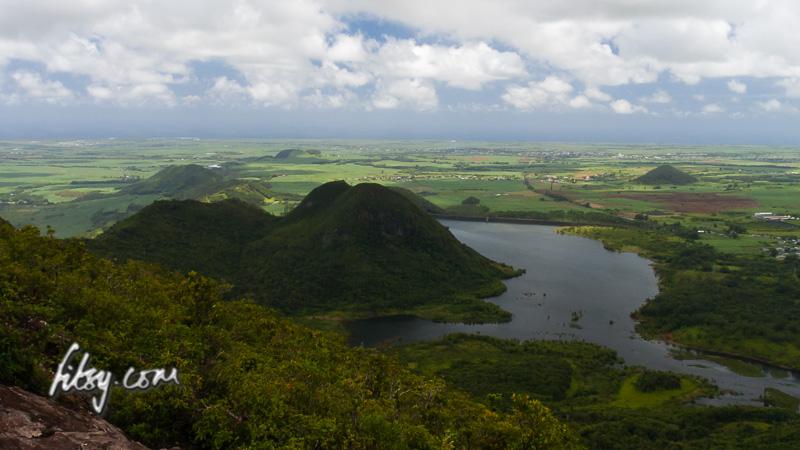
There is an overgrown and unmaintained path along the peaks South/South East of Lagrave mountain, leading to Eau Blue reservoir, but the reservoir itself is fenced off as this is property of the Central Water Authority (CWA) though there are many holes in the fence used by people going fishing there. Part of this path is on Openstreetmap.org.
There are also rumours of an alternate path starting from the base of the western side of Mount Laselle to the summit of Mount Lagrave, but verifying this remains as an exercise for the future.